
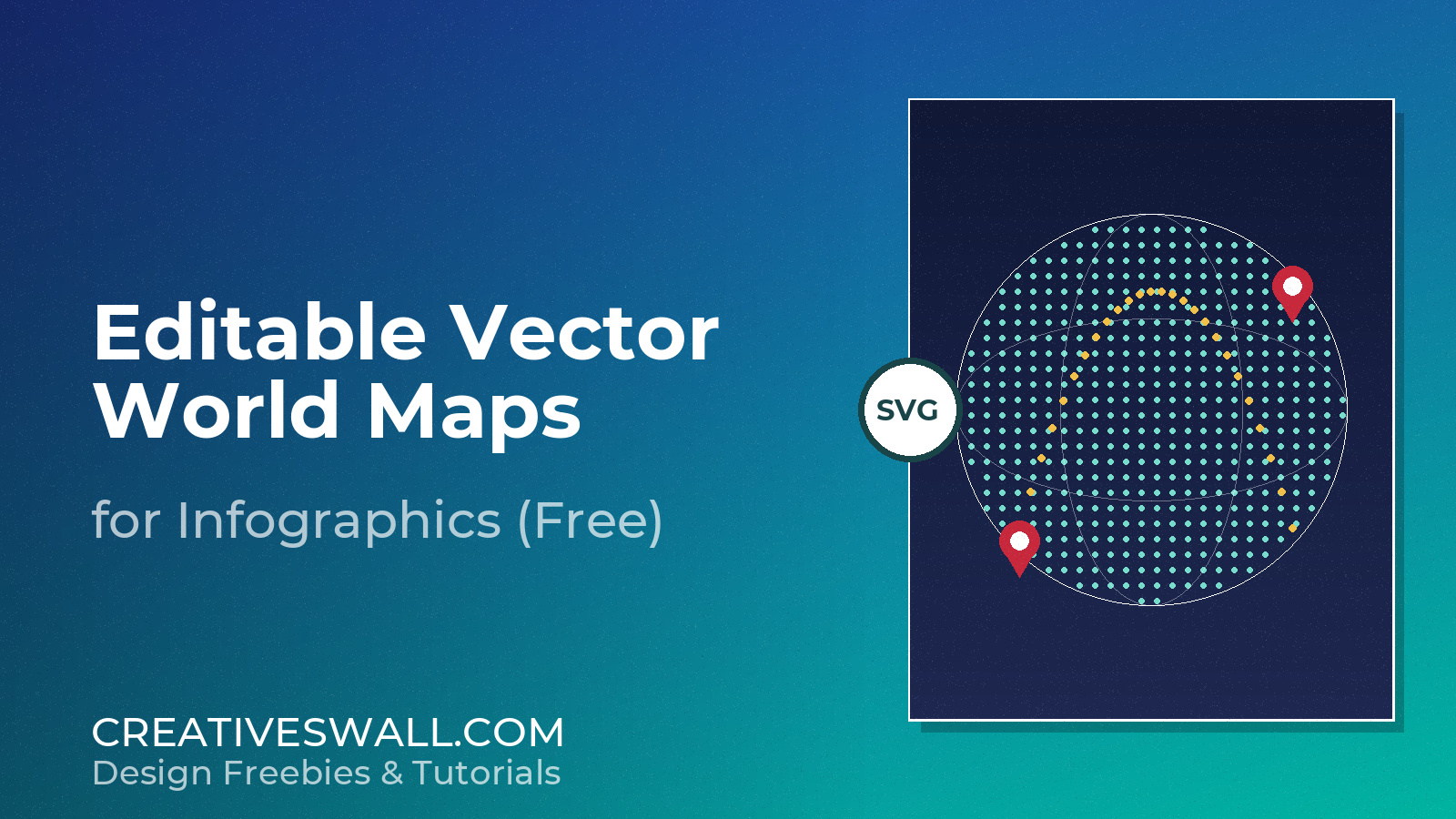
vector world maps belong in every designer’s toolbox – for presentations, infographics, and website graphics. These free editable vector world maps give you clean, scalable countries, regions, and labels you can recolour and annotate however you like.
Why Use Vector Maps
- Infinitely scalable – resolution independent, always crisp.
- Fully editable – recolour individual countries or regions.
- Lightweight – tiny file sizes compared to bitmap maps.
- Easy to update – swap names and data without redrawing.
The Free Vector World Map Set
World Maps
- World Equal Earth map – accurate SVG world with editable country paths.
- World outline map – clean border-only world view.
- World outline Equal Earth – minimal modern projection.
- Globe vector maps – spherical world graphics collection.
Continents & Regions
- North America vector maps – continent and regional sets.
- Canada vector maps – provinces and territories.
- Mexico vector maps – states and regions.
- United States vector maps – state-level editable paths.
Countries, Styles & Tools
- Central America vector maps – country-level paths.
- PowerPoint vector maps – slide-ready editable maps.
- Flag maps collection – countries filled with their flags.
- SVG map generator – build a custom vector map online.
How to Edit a Vector Map
- Open the file in Adobe Illustrator (or Inkscape for a free option).
- Select a country path with the Direct Selection tool.
- Change its fill color, or add data labels beside it.
- Export as PNG for web or keep the source for print.
Tip: keep the legend and scale bar on a separate layer so you can hide them for clean presentation shots.
More Free Design Resources
Looking for more free design assets? Explore these related collections, fonts and tools from Creatives Wall: